Getting oriented in the Cordillera Blanca
The Santa Cruz trek is a multi-day walk through the Cordillera Blanca, the mountain range near Huaraz in northern Peru. Its appeal lies in the changing scenery: cultivated valleys give way to open grazing country, glacial streams, steep rock walls and views of snow-covered peaks. Much of the route lies within Huascarán National Park, where walkers should stay on established paths and follow current park requirements.
Most itineraries connect Vaquería and Cashapampa, with Punta Unión as the high point between them. The route can be walked in either direction, but this guide follows the common Vaquería-to-Cashapampa order. Four days allows the journey to be divided into manageable stages, although pace, campsites and transport arrangements vary. Thinking in terms of terrain and effort, rather than fixed daily distances, is the most useful way to understand the walk.
The opening stage: Vaquería to the Paria area
A start at Vaquería usually follows a road transfer from the Huaraz area. From the trailhead, the path passes through a lived-in mountain landscape before continuing up the valley towards the Paria camping area. This first stage is a chance to settle into a steady walking rhythm. It should not be treated as an easy warm-up: the trail is already at considerable altitude, and even moderate slopes can feel demanding.
The valley also offers a reminder that the Santa Cruz route is not an empty wilderness. People live and work in the surrounding area, and grazing animals may be part of the scene. Give residents and livestock space, ask before photographing people, and leave gates as you find them. Campsite choices and access arrangements can change, so confirm the practical details locally before setting out.
Crossing Punta Unión, the trek’s high point
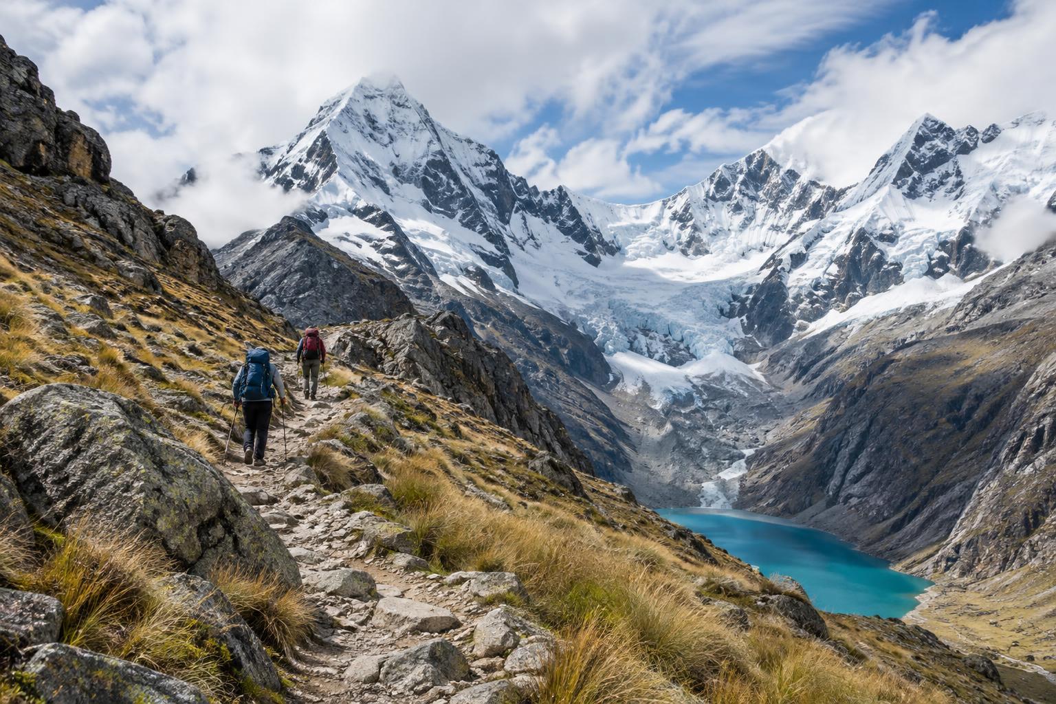
The climb from the Paria side towards Punta Unión is generally the most demanding part of the trek. The pass sits at roughly 4,750 metres, where thin air, a sustained ascent and exposed conditions can make progress slow. The path becomes rockier near the top. On a clear day, the crossing opens wide views of the surrounding peaks and valleys, but cloud can remove those views quickly.
Begin this stage with enough time for an unhurried climb and descent. Carry layers that can handle sun, wind and cold, along with water and food that are easy to reach. Weather in high mountains can change rapidly, so a forecast is useful but not a guarantee. If anyone feels unwell at altitude, do not push on simply to reach the pass; symptoms deserve attention, and descending may be necessary. After the crossing, the route drops towards the Taullipampa area, where many itineraries spend the night.
Following the Santa Cruz valley to Cashapampa
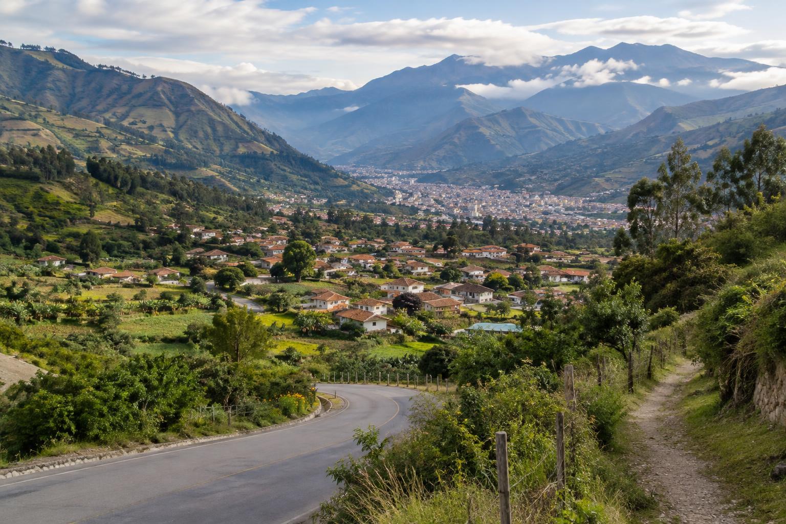
Beyond Taullipampa, the trail follows the Santa Cruz valley towards lower ground. Depending on the itinerary, walkers may break the descent with a night around Llamacorral before continuing to Cashapampa. The scenery gradually changes from close views of high peaks and glacially fed water to a warmer, more enclosed valley. Side trips to viewpoints or lakes are sometimes possible, but they add time and effort and should not be assumed to fit every schedule.
The final descent can be tiring despite the loss of altitude, particularly on uneven ground. Keep some energy in reserve and arrange onward transport from Cashapampa in advance. Walking the route in reverse changes the character of the journey: the ascent towards the pass is spread over different stages, while the crossing may come later in the trek. Neither direction removes the need to prepare for altitude and variable conditions.
Preparing for a considerate trek
Allow time to adjust to altitude before beginning a multi-day walk, and choose an itinerary that suits your experience rather than the fastest schedule available. Check current park entry rules, trail conditions, campsite arrangements and transport details locally. A map or reliable route information remains valuable even if you are walking with a guide. Pack for cold nights and wet weather as well as sunny afternoons, and plan how you will carry or treat drinking water.
Small choices help protect the landscape and make the trail more pleasant for others. Carry out rubbish, use toilets where provided, and keep soap and other waste out of streams. Camp only where permitted, avoid disturbing wildlife, and be mindful that the route passes through areas connected to local livelihoods. With realistic pacing and flexible expectations, the Santa Cruz trek is as rewarding for its gradual journey through the valleys as it is for the moment of crossing Punta Unión.