Think of the loop as a set of choices
The Quilotoa Loop is not one fixed footpath. It is a network of roads and walking routes through Ecuador’s Andean highlands, with Quilotoa’s crater lake as its best-known landmark. A popular walking sequence links Sigchos, Isinliví, Chugchilán and Quilotoa. Other travelers begin elsewhere, walk only one or two stages, or use local transport to connect sections. That flexibility is useful: the best itinerary is the one that fits your available time, walking experience and comfort at altitude.
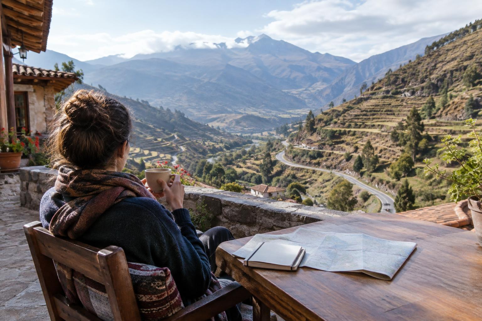
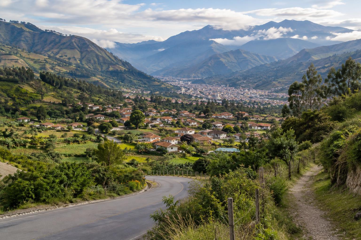
For a first village-to-village trip, plan around where you can sleep rather than trying to cover as much ground as possible. Sigchos, Isinliví and Chugchilán offer natural stopping points on the way to Quilotoa, though accommodation and transport options can change. Check them before setting out, and leave room in your plans if a chosen trail or road proves unsuitable. A map may make two villages look close while hiding a long descent into a valley followed by a steep climb.
Choose a direction and daily effort
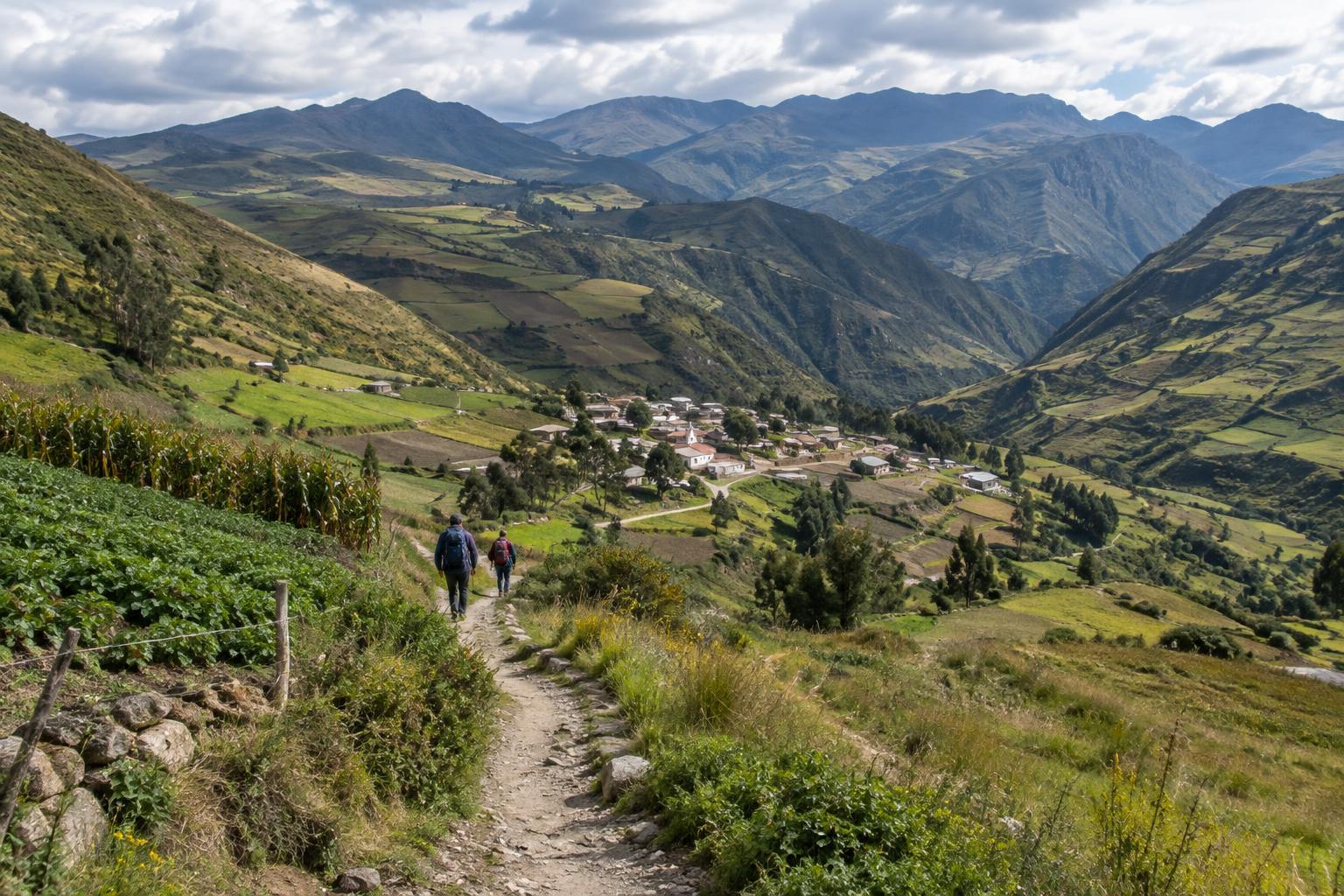
Walking from Sigchos toward Quilotoa gives the journey a clear finish at the crater rim. The stages from Sigchos to Isinliví and from Isinliví to Chugchilán pass through farmland, valley scenery and small settlements. The final approach from Chugchilán to Quilotoa can feel especially demanding because it involves substantial climbing at high elevation. Starting at Quilotoa and walking in the opposite direction changes where the biggest climbs fall, but it does not turn the route into an easy downhill stroll.
Choose stages by the amount of ascent, descent and time on your feet, not distance alone. If you are new to walking at altitude, a shorter first day or an extra night in the area may make the trip more comfortable. Start early enough to navigate without rushing and to reach your next village well before dark. You do not need to complete every stage for the walk to be worthwhile; a single well-chosen section can offer a fuller experience than several hurried days.
Navigate the paths between villages
Expect a mix of dirt roads, tracks and footpaths rather than a continuously marked trail. Routes can branch near fields or settlements, and conditions may change after rain. Before each stage, confirm your intended path with your accommodation or another locally informed contact. Carry an offline map, but use it alongside what you can see on the ground; a line on a screen cannot tell you whether a crossing is safe or a path is currently accessible.
Ask before entering enclosed land, and follow any signs about access. If a route looks uncertain, turning back to a known junction is usually better than pushing ahead on a guess. Carry enough water and food for the day, rain protection and a warm layer even when the morning is bright. Footwear with dependable grip helps on loose or muddy slopes. Keep essential items with you even if you arrange for a larger bag to travel separately.
Give altitude and weather room in your plan
High elevation can make an ordinary climb feel harder, and people respond to it differently. Build in a manageable pace, take breaks and pay attention to how you feel rather than treating your itinerary as a deadline. If you feel unwell, do not let a booking or a planned finish push you into continuing. Spending time at elevation before a demanding stage may help some walkers adjust, but it is no guarantee that the walk will feel easy.
Andean weather can shift quickly. Sunshine, wind, cloud and rain may all affect the same day’s walk, while cloud can make navigation more difficult. Check the local forecast when you can, then prepare for conditions beyond it. A flexible schedule gives you the option to wait, shorten a stage or use transport instead of walking in weather that makes the route unsafe or unpleasant.
Travel through lived-in landscapes with care
The villages and fields along the route are places where people live and work, not simply scenery between viewpoints. Greet people, ask before photographing them or their homes, and keep to established paths where possible. Close gates as you find them, give livestock space and take your litter with you. If you meet dogs, avoid provoking them and follow local advice about sections where they may be present.
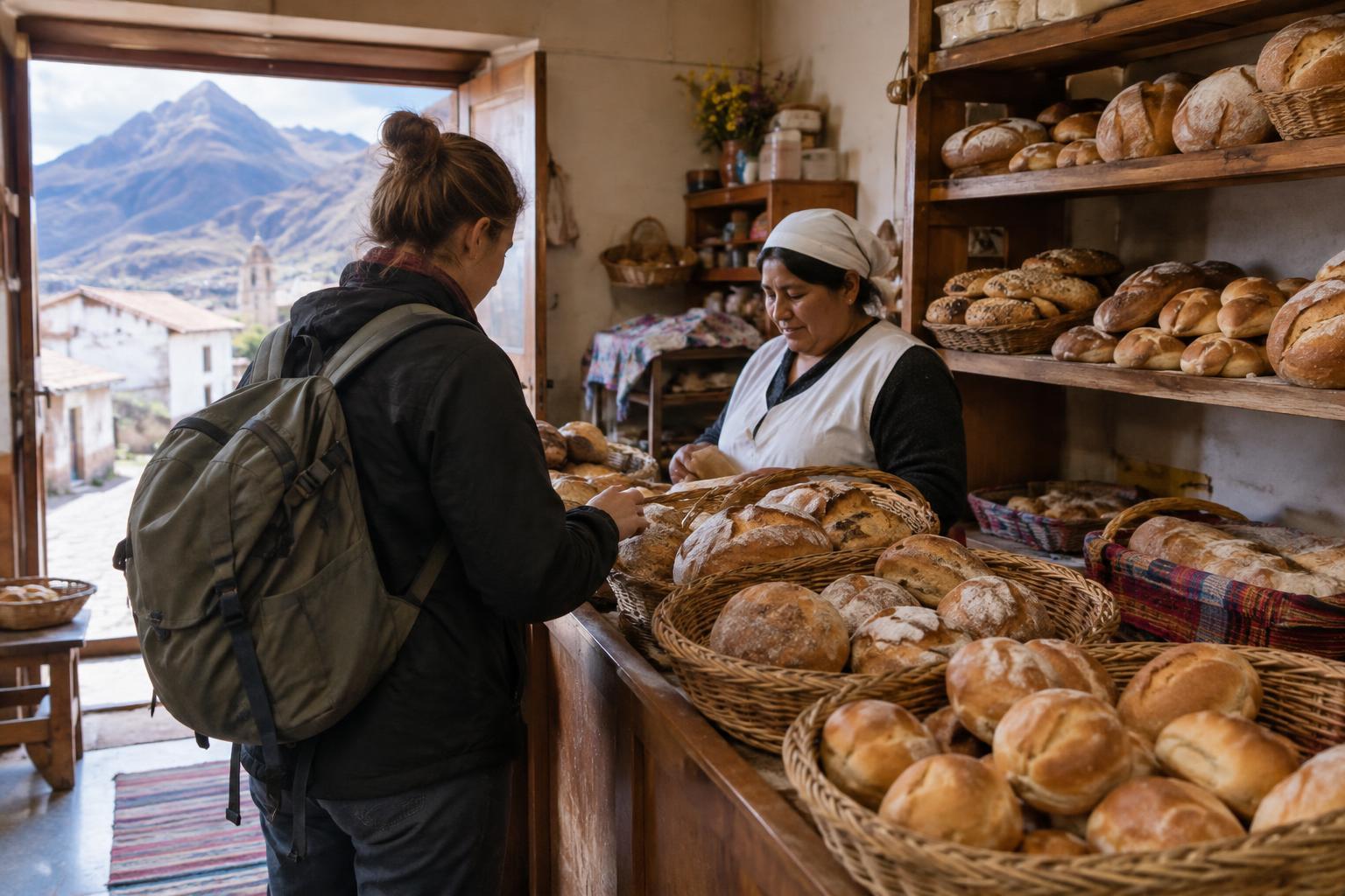
Buying a meal, arranging a stay or paying for local transport can be a straightforward way to support services you use, without assuming every community has the same needs or welcomes visitors in the same way. Leave time for those ordinary exchanges. On the Quilotoa Loop, choosing stages thoughtfully is about more than finishing a route: it helps you walk safely, adapt to the landscape and visit its villages with respect.