Why this short-looking hike feels demanding
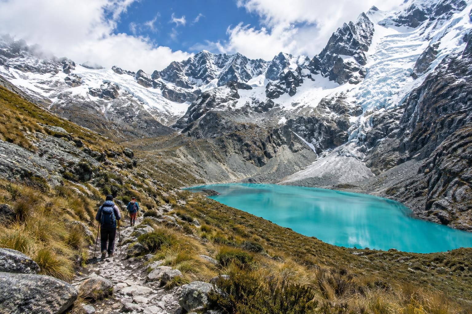
Laguna 69 lies among the steep peaks of Peru’s Cordillera Blanca, within Huascarán National Park. Its vivid blue water is a striking destination, but the walk is worth taking slowly: the valley, waterfalls and mountain views give you plenty of reasons to pause before reaching the lake.
Most hikers start near Cebollapampa and follow an out-and-back trail. Route estimates vary, but expect roughly 13 to 14 kilometres in total and a climb of around 700 metres. The lake sits at about 4,600 metres above sea level. Even if you are comfortable with that distance at home, the thin air can make the ascent feel markedly harder. Allow a full day for transport and walking rather than treating Laguna 69 as a quick stop.
How the trail unfolds
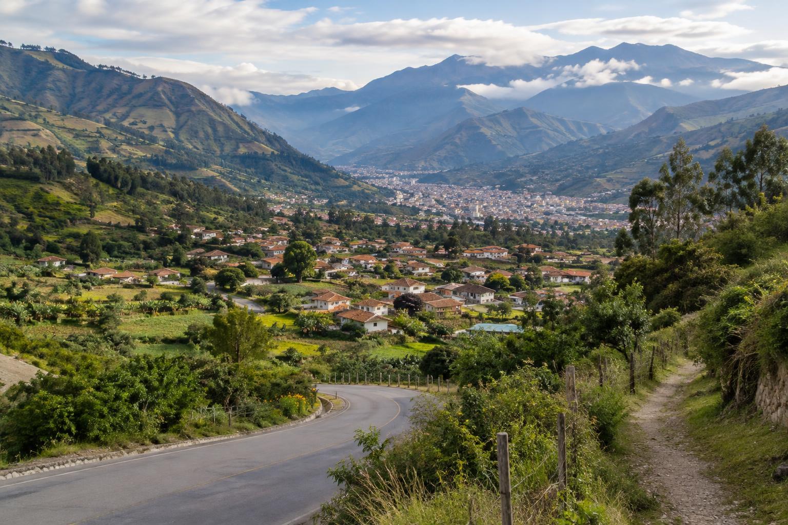
From the usual trailhead, the path enters an open valley with a stream, grazing areas and broad views toward snow-covered mountains. The early walking is gentler than the later climb, although uneven ground and gradual elevation gain still call for a steady pace. Look back occasionally: the landscape changes as the valley opens behind you.
The route then climbs more sharply on a series of bends toward a higher, flatter area. After a brief respite, a final uphill stretch leads to Laguna 69. This last section can feel long, especially if you have pushed too hard earlier. The path is generally visible, but mist, rain or snow can make navigation and footing less straightforward. On the return, take care on loose or wet sections; downhill walking can be tiring after the climb.
At the lake, leave time simply to sit and take in the setting. The water’s colour can look different as light and cloud shift, so there is no need to rush for a particular photograph. Keep back from unstable edges and remember that reaching the shore is only the halfway point of the walk.
Preparing in Huaraz
Huaraz is a common base for the hike, but it is already at a much higher elevation than many visitors are used to. Spending time in the area and trying easier walks before Laguna 69 can help you judge how you feel at altitude. Fitness alone is not a reliable guide. If you feel unwell on the trail, do not feel obliged to continue; descend and seek appropriate help if symptoms are concerning.
Getting to the trailhead usually involves a substantial road journey, often arranged through a local tour or private transport. An organised trip can simplify logistics, but check where the vehicle will meet you, how much walking time is allowed and what is included. If travelling independently, confirm transport for the return as well as the outward journey. Park entry arrangements, access conditions and departure times can change, so check practical details locally before setting off.
Packing for a changeable mountain day
Dress for a warm climb, a cold pause at the lake and the possibility of rain or strong sun. Layers, a waterproof outer layer, a warm hat and comfortable footwear with reliable grip are useful starting points. Bring enough drinking water and food for the day, along with sun protection; shade can be limited on exposed stretches. Trekking poles may help on the steeper descent if you are used to carrying them.
Start early enough to walk without racing the daylight, and keep an eye on the weather as you go. Conditions can change quickly in the mountains, and a clear morning does not guarantee a clear afternoon. Carry a downloaded map or another way to follow the route, but do not rely on a phone alone for safety. If conditions deteriorate or your group is struggling, turning back is a sensible decision, not a failed hike.
Walking with care
Laguna 69’s popularity makes small choices matter. Stay on established paths where possible, carry out all rubbish, and give other walkers room on narrow sections. Avoid feeding animals or approaching livestock closely. At the lake, keep soaps and food scraps out of the water and leave the shore as you found it.
The route passes through a landscape that is more than a visitor attraction. Follow park rules, respect any signs or access boundaries, and be courteous to the people who live and work in the wider region. A patient pace lets you notice more of the place while reducing pressure to hurry past others. The best plan is one that leaves time for the journey back as well as the view at the top.