A walk through changing landscapes
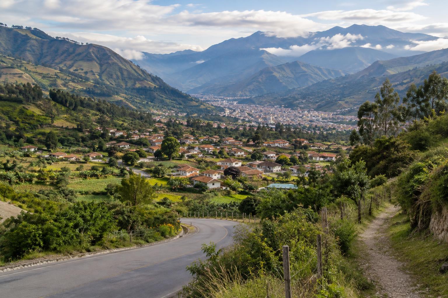
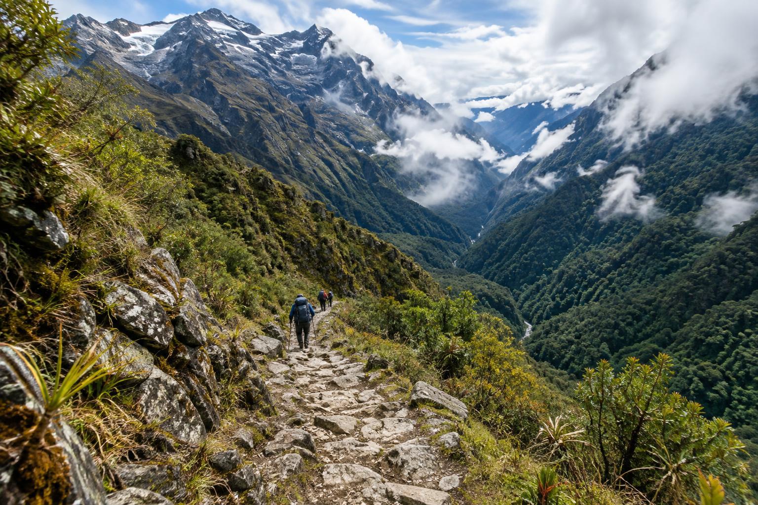
El Choro is a long downhill trek, but it is not an easy stroll. The commonly walked route begins in the high mountains near La Cumbre, outside La Paz, and heads toward the warmer, greener Yungas. Along the way, open slopes and broad views give way to valleys, denser vegetation and a noticeably different climate. That transition is the route’s defining experience: rather than arriving at one viewpoint, you watch the landscape change over several days.
Parts of the path follow old stone-paved routes, while other stretches are rough, muddy or worn by water. Villages and hamlets mark the journey, but services should not be assumed at every stop. Most walkers finish at Chairo and continue by road toward Coroico or another onward destination. Before setting out, check the current trailhead, exit transport and route conditions locally; details can vary with weather and access.
Why the descent demands preparation
A route that loses substantial elevation can be harder on the legs than its profile suggests. Long downhill sections put repeated pressure on knees and feet, especially where stone steps are uneven or wet. Give yourself enough time to walk steadily rather than rushing to reach a planned overnight stop. A walking pole or two may help with balance, but careful footing matters more than speed.
The high start also deserves respect. Even though the route descends, you begin in thin air and may feel the altitude before you reach lower ground. Spending time at altitude before the trek, starting at a manageable pace and being willing to turn back if you feel unwell are sensible precautions. The shift in temperature can be striking too: warm layers and rain protection may both earn their place in your pack on the same trip.
Planning your days on the trail
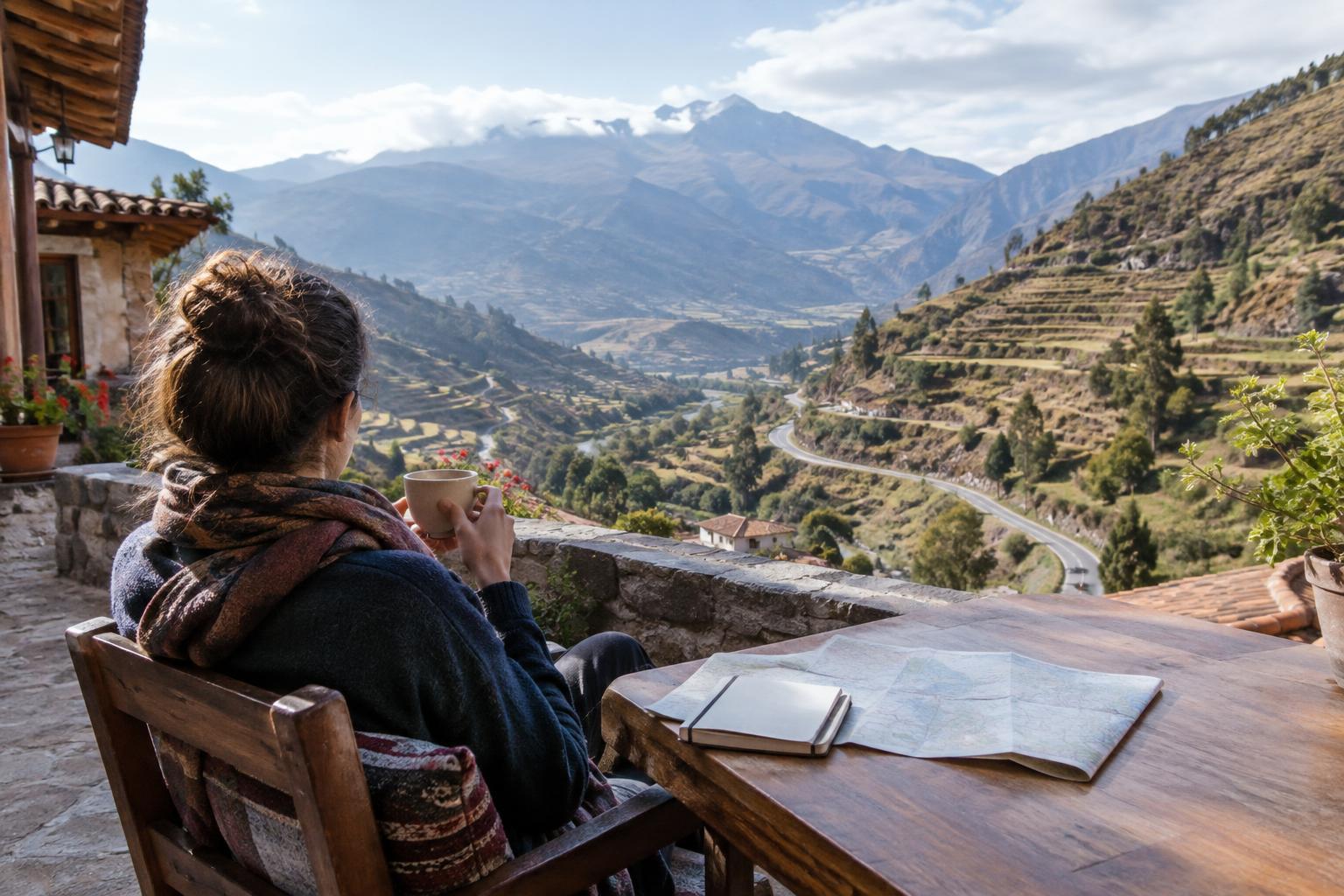
Walkers commonly spread El Choro over several days, but a suitable schedule depends on fitness, conditions, daylight and where it is possible to sleep. Map out each stage before leaving La Paz, including a backup plan if progress is slower than expected. Ask locally about the state of the path, any access requirements, accommodation or camping arrangements, and how to arrange transport after the walk. Do not rely on a phone signal for navigation or last-minute bookings.
Carry a reliable offline map, enough food for your plan and a margin for delays. Water may be available along the route, but availability and quality can vary, so bring a way to treat it. Pack for rain even if the morning looks clear, and keep warm clothing dry for the higher sections. Footwear with dependable grip is useful on stone and mud; a headlamp and a small first-aid kit are practical safeguards. If you are unsure about navigation or managing a remote multi-day walk, consider hiring a local guide.
Weather, water and sensible decisions
Conditions can change quickly across such a large range of elevations. Rain can make stone surfaces slick, turn dirt sections into mud and affect streams or crossings. Pause to assess an obstacle rather than following someone else across automatically. If a crossing or exposed stretch looks unsafe, wait, seek reliable local advice or change your plan. Build flexibility into onward travel so that a cautious decision does not feel like a crisis.
The descent into the Yungas brings more vegetation and, often, a more humid walking experience. Keep rain gear accessible instead of buried at the bottom of your bag, and protect electronics and spare clothing from moisture. Check the forecast before departure, but treat it as a planning aid rather than a promise about conditions on every part of the route.
Walking respectfully through lived-in places
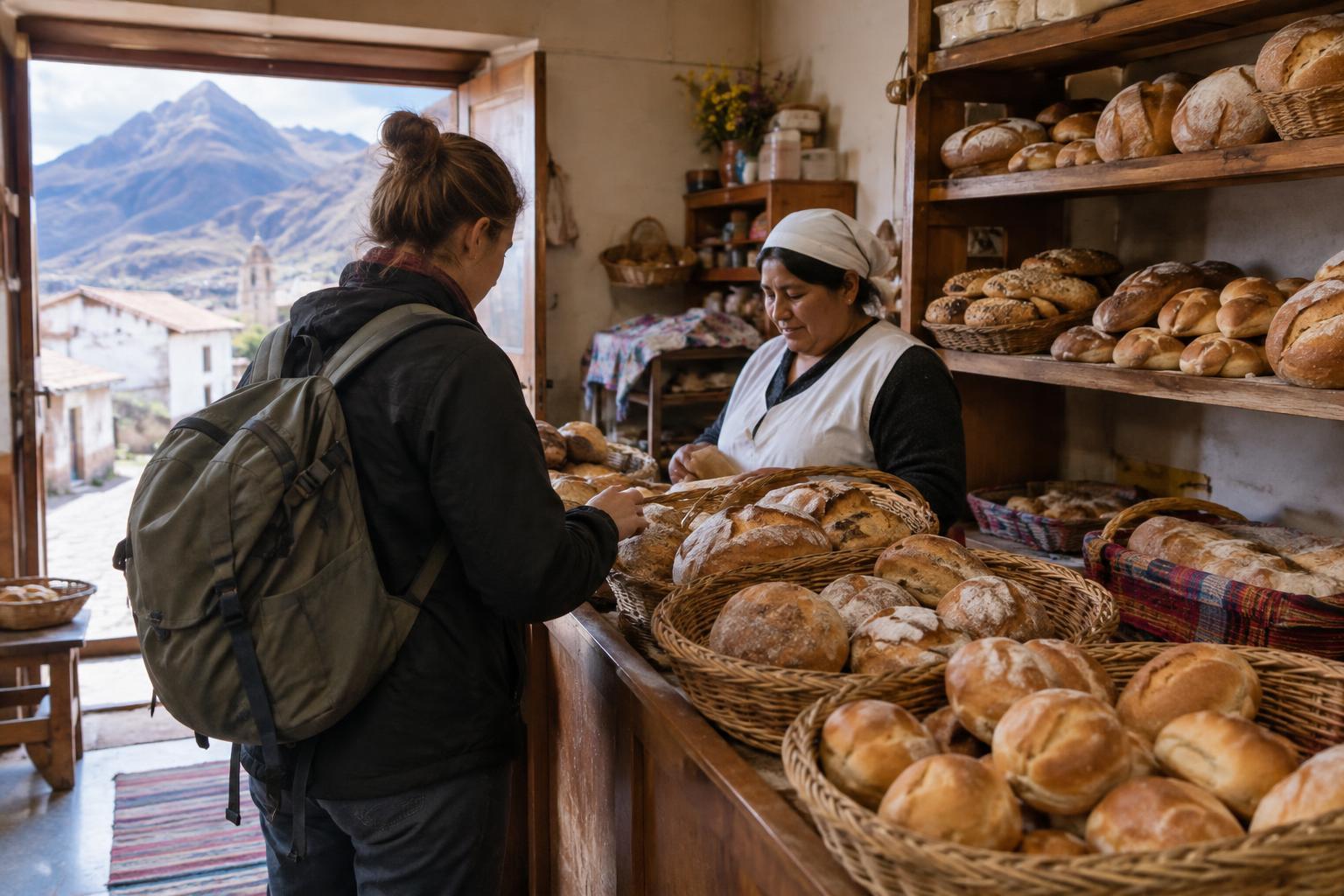
El Choro passes through communities, not an empty wilderness. Stay on established paths where possible, take your rubbish out with you and avoid washing with soap in streams. If you camp, use an appropriate place and ask about local arrangements rather than assuming any open ground is available. Buying food or a place to stay locally, when offered, can be a welcome part of the journey; carry cash in case electronic payments are not possible.
A greeting and a request for permission go a long way, particularly before photographing people or homes. Leave space for residents, animals and working traffic on narrow paths. Approaching the trek with patience makes it easier to appreciate both its landscapes and the fact that the trail is part of everyday life for people along it.